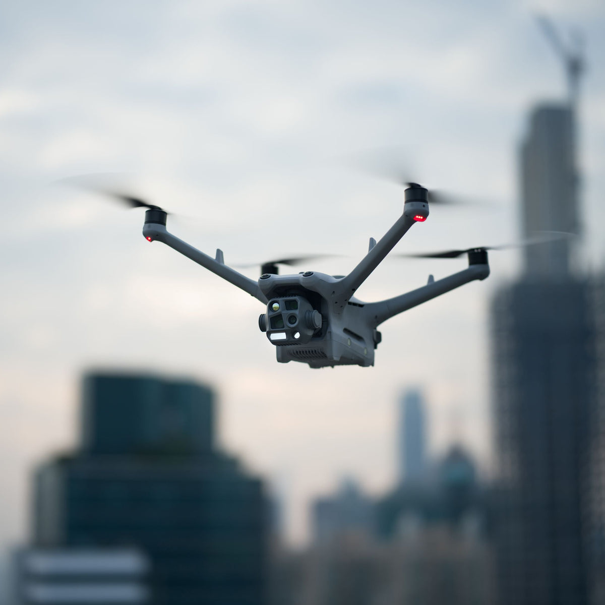
Real-time aerial situation awareness for incident commanders – for maximum situational awareness and safety during operations.
From €999,00excl. VATFrom €1.188,81incl. VAT
Real-time air situation directly in edp:map
Automatic integration of real-time air traffic data
Shared Situation Picture for Incident Commanders and Emergency Responders
Greater Safety During Operations Involving Drones and Aircraft
Faster and more informed decisions in dynamic operational situations
The Droniq Air Situation Interface enhances edp:map with real-time air traffic information, providing a comprehensive situational overview for government agencies and organizations responsible for security. Air movements of rescue helicopters, airplanes, and drones are visualized directly within the platform and are immediately available to incident commanders for operational planning and coordination.
Through the automated integration of Droniq air situation data, relevant information such as the position, altitude, speed, and identification of aircraft is immediately made available in edp:map. The data appears as a separate layer on the situational map and can be flexibly integrated into incident command operations.
This creates an enhanced situational picture that supports emergency responders in assessing complex situations, identifies risks early on, and improves the safe coordination of air and ground operations.
Eifert Systems – Reliable Software for Law Enforcement and Emergency Services
What is edp:?
For over 25 years, Eifert Systems GmbH has been developing practical software solutions that reliably support more than 600 customers in the public safety sector in managing day-to-day operations and large-scale emergency situations. The incident command software edp: is available both as a traditional desktop application and as a modern, platform-independent browser-based solution. An integrated GIS system provides a centralized overview of the situation and serves as the basis for operational and tactical incident command.
Eifert Systems – Reliable Software for Law Enforcement and Emergency Services
What is edp:?
For over 25 years, Eifert Systems GmbH has been developing practical software solutions that reliably support more than 600 customers in the public safety sector in managing day-to-day operations and large-scale emergency situations. The incident command software edp: is available both as a traditional desktop application and as a modern, platform-independent browser-based solution. An integrated GIS system provides a centralized overview of the situation and serves as the basis for operational and tactical incident command.
Overview of the Situation
Overview of the Situation
All relevant information on a singleplatform
edp:map consolidates operational information, maps, and air traffic data into a single view. Emergency responders gain a quick overview of the current situation and can coordinate their actions based on a unified set of information.
Real-Time Support
Real-Time Support
Up-to-date Data for Informed Decisions
Air traffic information is provided in real time and immediately displayed in the situational overview. This enables operations centers to respond more quickly to changes and identify risks early on.
Can be easily integrated
Can be easily integrated
Expandable to Meet Individual Requirements
Among the approximately 50 available interfaces is the connection to Droniq. It enables the integration of the air situation picture directly into the edp:map GIS system, allowing operations centers to track current air traffic in the operational area at any time. Parameters such as flight altitude can be used to specifically narrow down the displayed airspace. In addition, position data for specific aircraft can be directly assigned to the respective response assets in edp:map, so that rescue helicopters or the organization’s own drones are immediately displayed on the map. This creates a unified, up-to-date situational overview that maps the entire operational area – both ground and air – and provides decision-makers with a solid basis for decision-making.
edp:map
IN THE FIELD
The edp:map Droniq integration is ideal for any situation where an up-to-date and comprehensive situational overview is required for incident command. By combining incident information with real-time data from the airspace, air and ground operations are better coordinated, and collaboration among different organizations is simplified.
The Droniq Air Situation view provides real-time information on drones, rescue helicopters, and other aircraft directly within edp:map. This gives incident commanders an up-to-date situational overview and allows them to immediately factor air movements into their decisions.
Up-to-date information with no extra effort
Automated Data Transfer
Air traffic data is transmitted automatically via the Droniq interface. Relevant information is available directly in edp:map, eliminating the need to enter data manually or transfer it between systems.
Ground and Air Situations on a Single Map
Aerial imagery directly in the GIS system
The aerial situation is integrated directly into edp:map and displayed as an additional map layer. Aircraft, rescue helicopters, and the organization’s own drones can be visualized on a central map along with all mission-relevant information.
Better Overview for Efficient Incident Command
Safe Operational Decisions
Combining operational data with real-time information from airspace provides a comprehensive situational picture. Risks can be identified early, and air and ground operations can be coordinated more safely.
Keep track of airspace at all times
Real-Time Live Air Situation
The Droniq Air Situation view provides real-time information on drones, rescue helicopters, and other aircraft directly within edp:map. This gives incident commanders an up-to-date situational overview and allows them to immediately factor air movements into their decisions.
Up-to-date information with no extra effort
Automated Data Transfer
Air traffic data is transmitted automatically via the Droniq interface. Relevant information is available directly in edp:map, eliminating the need to enter data manually or transfer it between systems.
Ground and Air Situations on a Single Map
Aerial imagery directly in the GIS system
The aerial situation is integrated directly into edp:map and displayed as an additional map layer. Aircraft, rescue helicopters, and the organization’s own drones can be visualized on a central map along with all mission-relevant information.
Better Overview for Efficient Incident Command
Safe Operational Decisions
Combining operational data with real-time information from airspace provides a comprehensive situational picture. Risks can be identified early, and air and ground operations can be coordinated more safely.
Real-Time Air Situation
GIS Integration
Digital Situation Report
Safe Coordination of Operations
System Requirements & Package Contents
System Requirements
The Droniq interface in edp:map is fully integrated into the edp: system landscape of Eifert Systems GmbH and can be activated with minimal installation effort. The following requirements must be met for operation:
Software requirements: the latest version of edp:map (desktop or browser edition)
Module requirement: active GIS module within the edp: environment
Network connection: stable Internet connection for retrieving Droniq aerial data
Access requirements: a valid Droniq account or authorization to use Droniq data services
Server environment: Windows- or Linux-based server environment in accordance with edp:’s system requirements
Browser compatibility (for the web version): current versions of Chrome, Edge, or Firefox
Data interface: The Droniq interface is automatically activated by Eifert Systems; the purchase is made through Droniq.
What's Included
The Droniq air situation interface for the edp:map software from Eifert Systems is being delivered.
In addition to the setup fee of 999 EUR (net), an annual subscription is required, which is billed monthly (33.33 € net).
Billing begins on the 1st of the following month and is processed via invoice.
You are purchasing a license for 5 users. The setup fee is due immediately upon placing the order.
The access token for the software is sent to the user digitally.
Note: The edp:map software is not included. This is only the interface for it.
Frequently Asked Questions
Who is the edp:map Droniq integration designed for?
The solution is designed for government agencies, law enforcement and emergency response organizations, control centers, incident command centers, and operators of critical infrastructure.
What information is displayed in edp:map?
The system displays real-time air traffic data such as position, identification, altitude, speed, and other movement data for tracked aircraft.
Is the data transfer automatic?
Yes. The air traffic data is automatically integrated into the platform and is available without any additional effort on the user's part.
Can air traffic data be shown or hidden on the map?
Yes. The aerial view is displayed as a separate layer and can be flexibly integrated into the map view or hidden.
What are the benefits of integration in the field?
Emergency responders receive an up-to-date overview of the airspace, can identify risks early on, and can better coordinate air and ground operations.
Choosing a selection results in a full page refresh.