High-precision enterprise drone for surveying, mapping, and intelligent data collection using AI.
€3.800,84excl. VAT€4.523,00incl. VAT€3.800,84
AI-Powered Detection for Efficient Operations
Precise Measurement with a Laser Rangefinder
Ideal for mapping, construction, and mining
Up to 49 minutes of flight time
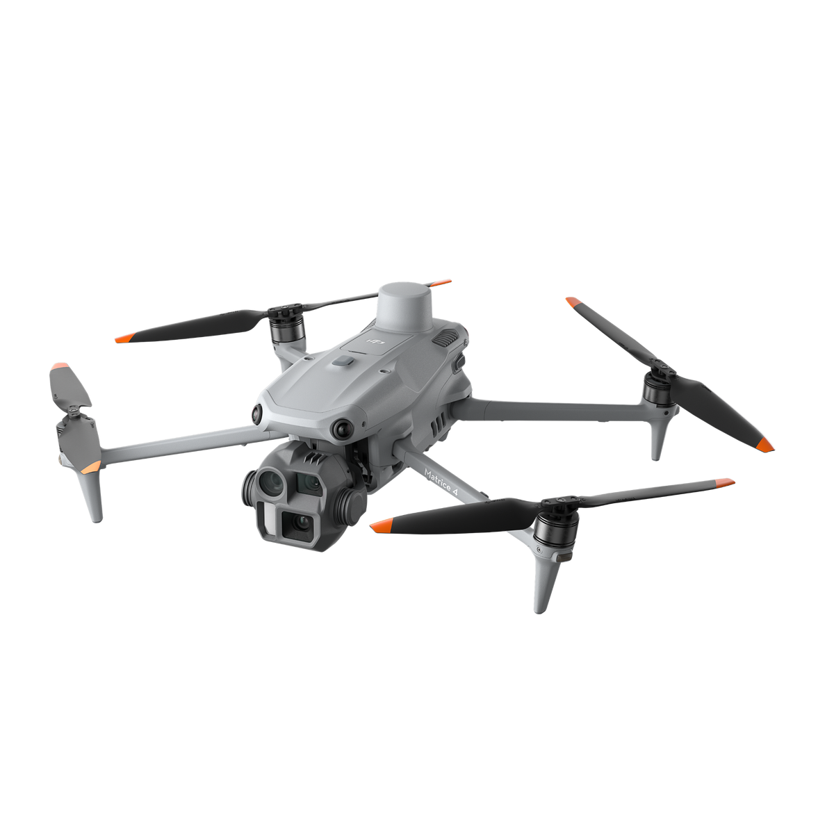
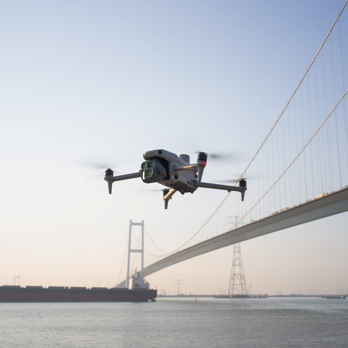
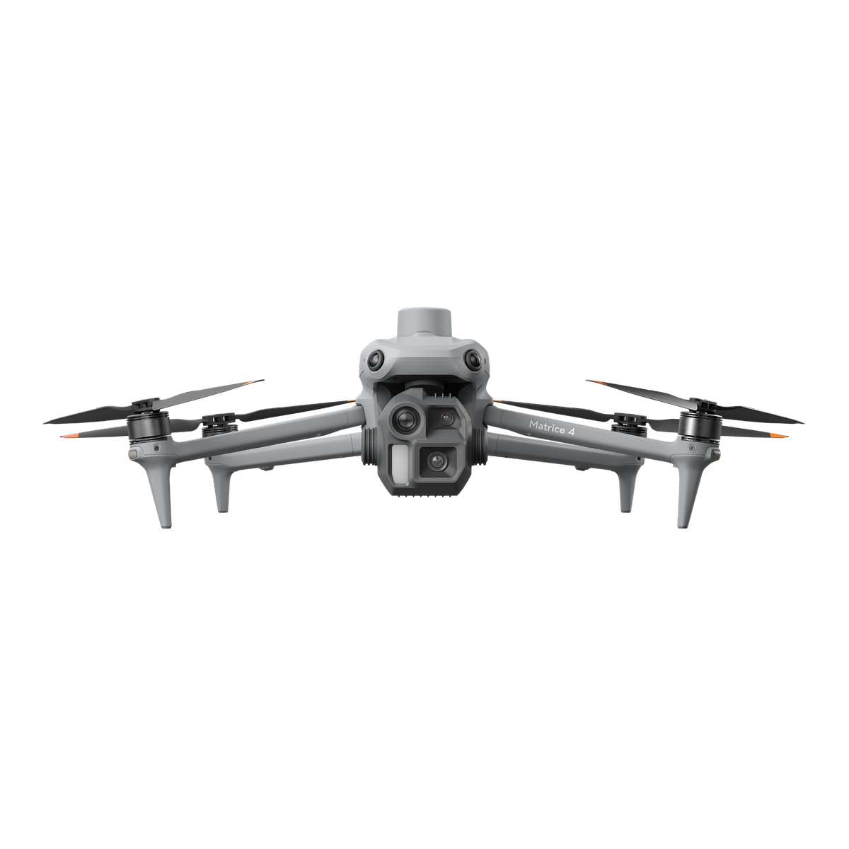
The DJI Matrice 4E is a high-performance enterprise drone designed for surveying, mapping, and technical inspections. Equipped with a 20-MP wide-angle camera, a 48-MP telephoto camera, an integrated RTK system, and AI-powered object recognition, it delivers highly accurate data for professional applications. Surveying firms, construction companies, and infrastructure operators benefit from efficient workflows, precise positioning, and intelligent flight modes. With up to 49 minutes of flight time, omnidirectional obstacle detection, and O4 Enterprise image transmission, the Matrice 4E is ideal for large-scale projects, digital twins, construction progress monitoring, and the inspection of critical infrastructure.
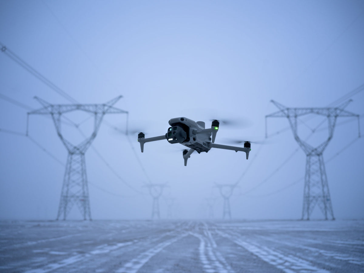
The DJI Matrice 4E was developed specifically for surveying firms, construction companies, infrastructure operators, industrial companies, and trades businesses. High-resolution cameras, RTK precision, and intelligent flight modes enable accurate surveying, digital terrain models, construction progress documentation, and inspections of industrial facilities, buildings, roofs, and critical infrastructure. The combination of AI support and powerful camera technology ensures efficient data collection and reliable results for professional drone operations.
What's Included
21 m/s fast
49 minutes in the air
6 km high
DJI Matrice 4E Product Highlights
DJI Matrice 4E Product Highlights
AI-powered Object Recognition
AI-powered Object Recognition
The integrated AI automatically detects and tracks people, vehicles, and ships, and supports search, rescue, and surveillance operations.
Smart Flight Modes
Smart Flight Modes
Automated flight modes increase efficiency and precision during operations. Whether it’s long-distance flights with Cruise mode, rapid approaches to targets with FlyTo, reliable object tracking via Smart Track, or the creation of 3D models with POI—the drone supports complex tasks with minimal pilot input.
Precise measurements in real time
Precise measurements in real time
With the built-in laser rangefinder, you can quickly and accurately measure distances, areas, and target points right on the job.
High-Performance Zoom for Inspections
High-Performance Zoom for Inspections
48-MP cameras and high-performance telephoto lenses enable detailed inspections of infrastructure, energy facilities, and security-related sites from a safe distance.
Fly Safely, Even in Complex Environments
Fly Safely, Even in Complex Environments
The DJI Matrice 4E combines omnidirectional obstacle detection with intelligent flight assistance and stable O4 Enterprise video transmission.
Frequently Asked Questions About the DJI Matrice 4E
What applications is the DJI Matrice 4E suitable for?
The DJI Matrice 4E was designed for surveying, mapping, construction, infrastructure management, and industrial inspections
What's the difference between the DJI Matrice 4E and the Matrice 4T?
The Matrice 4E is designed specifically for surveying and mapping tasks, while the Matrice 4T also features a thermal imaging camera for law enforcement and thermography applications.
Does the DJI Matrice 4E have RTK?
Yes, the built-in RTK system provides centimeter-level positioning accuracy for precise surveying and mapping projects.
How long can the DJI Matrice 4E fly?
The maximum flight time is up to 49 minutes, allowing for efficient mapping of large areas.
Is the DJI Matrice 4E suitable for construction companies?
Yes, the drone is ideal for monitoring construction progress, calculating volumes, creating terrain models, and documenting construction sites.
Choosing a selection results in a full page refresh.